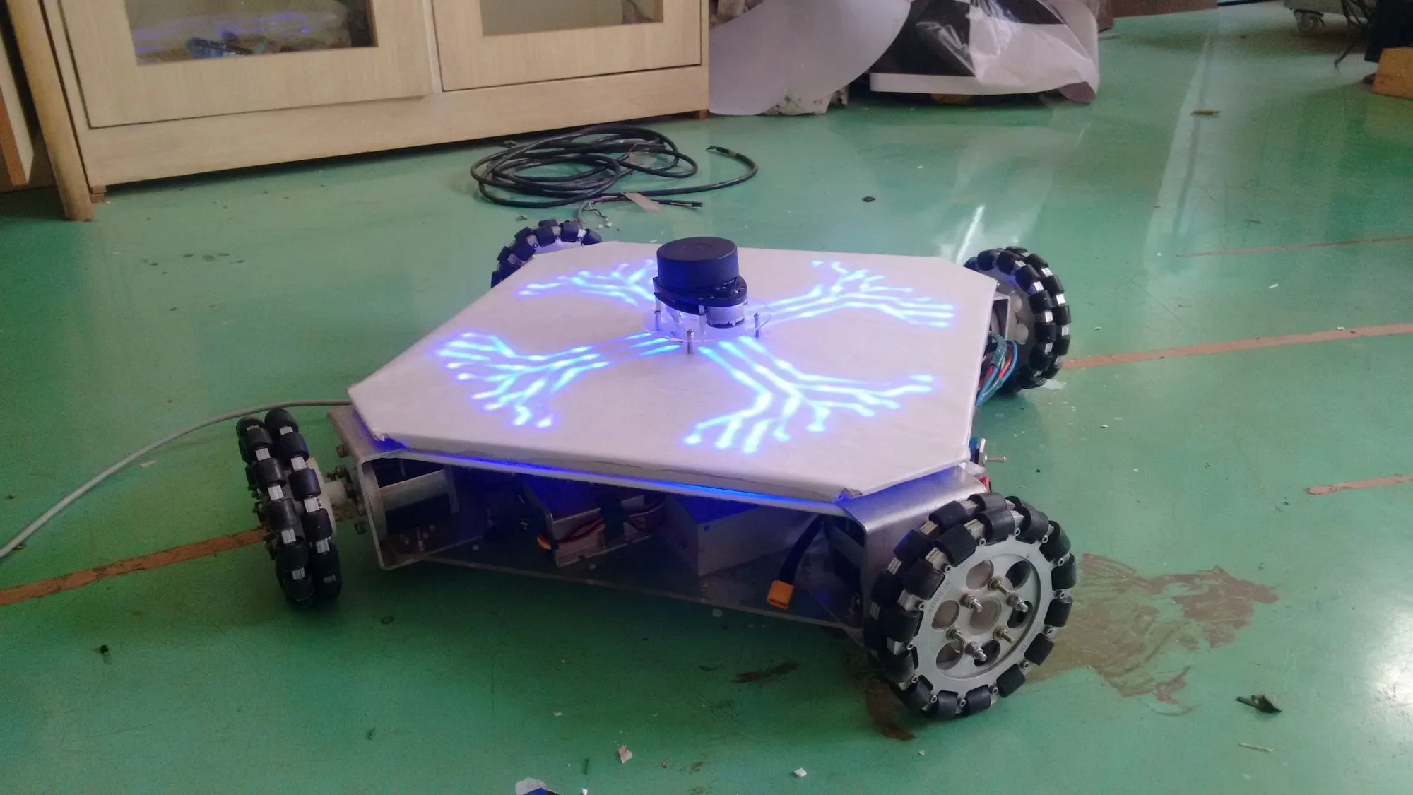
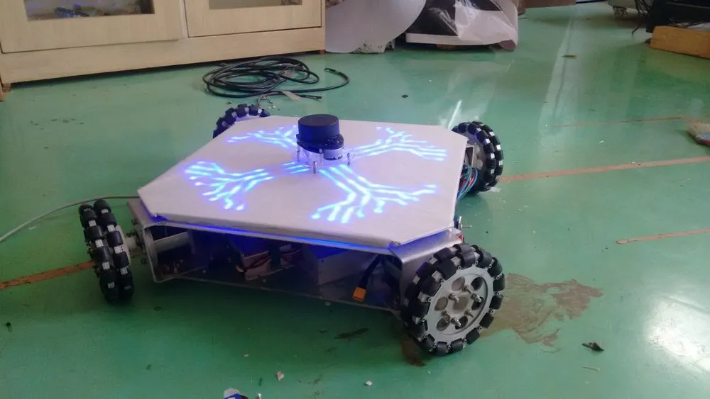
Lidar Robot
A mobile robot developed for demonstrating various applications such as surveying, 2D mapping, indoor navigation and SLAM (Simultaneous Localization And Mapping).
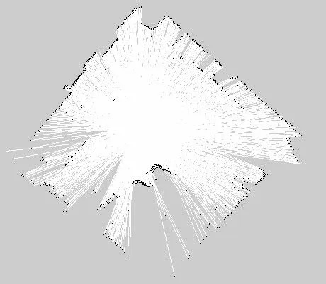
The robot is developed for indoor use, a holonomic drive with 4 omni-wheels. It uses Lidar as the primary sensor and explores unknown terrain to create a map (blueprint) of the surveying site. ROS (Robot Operating System) was used for this, configured and programmed with Frontier exploration, AMCL for localization, and building octomaps / 2D pgm maps as output.
What was the inspiration
Mapping, localization, and path-planning are some of the fundamental requirements of any mobile robot. Most mobile robots that work outdoors use localization techniques like GPS or radar. Similarly, for indoor robots, technologies like beaconing are used, but the problem with those is that the environment must be set up with beacons, leading to an immobile setup. This project aimed at a mobile platform that can work in unknown terrains. The study also focused on holonomic drive as it gives more degrees of freedom to move in smaller indoor areas.
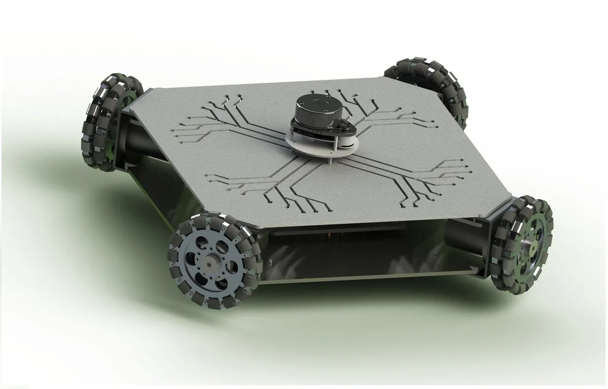
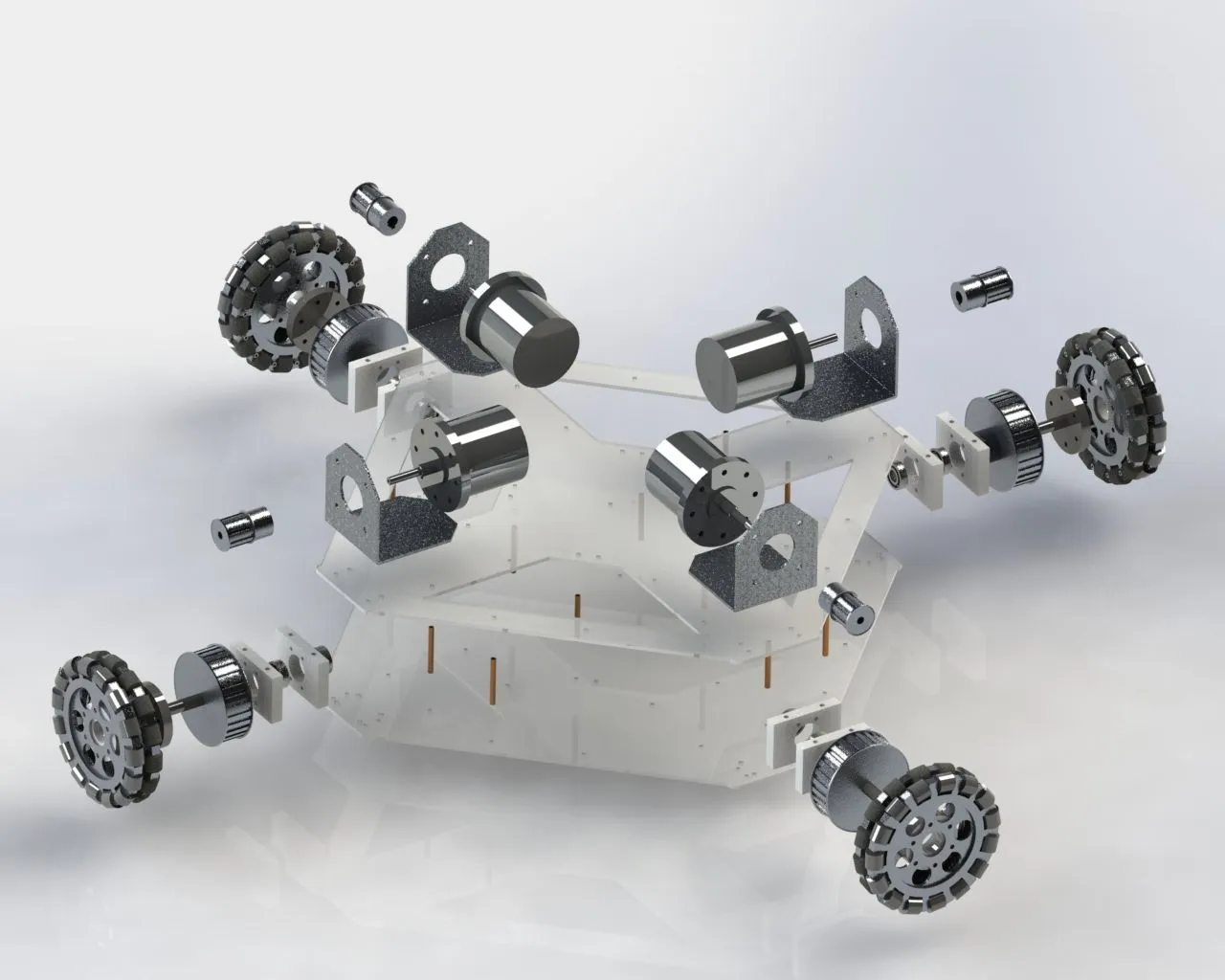
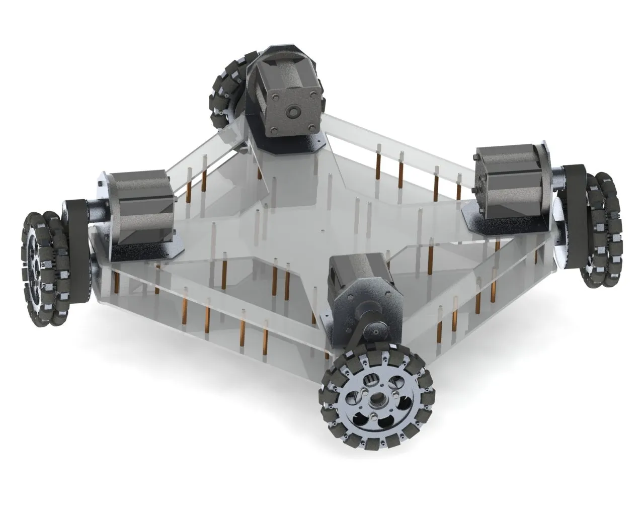
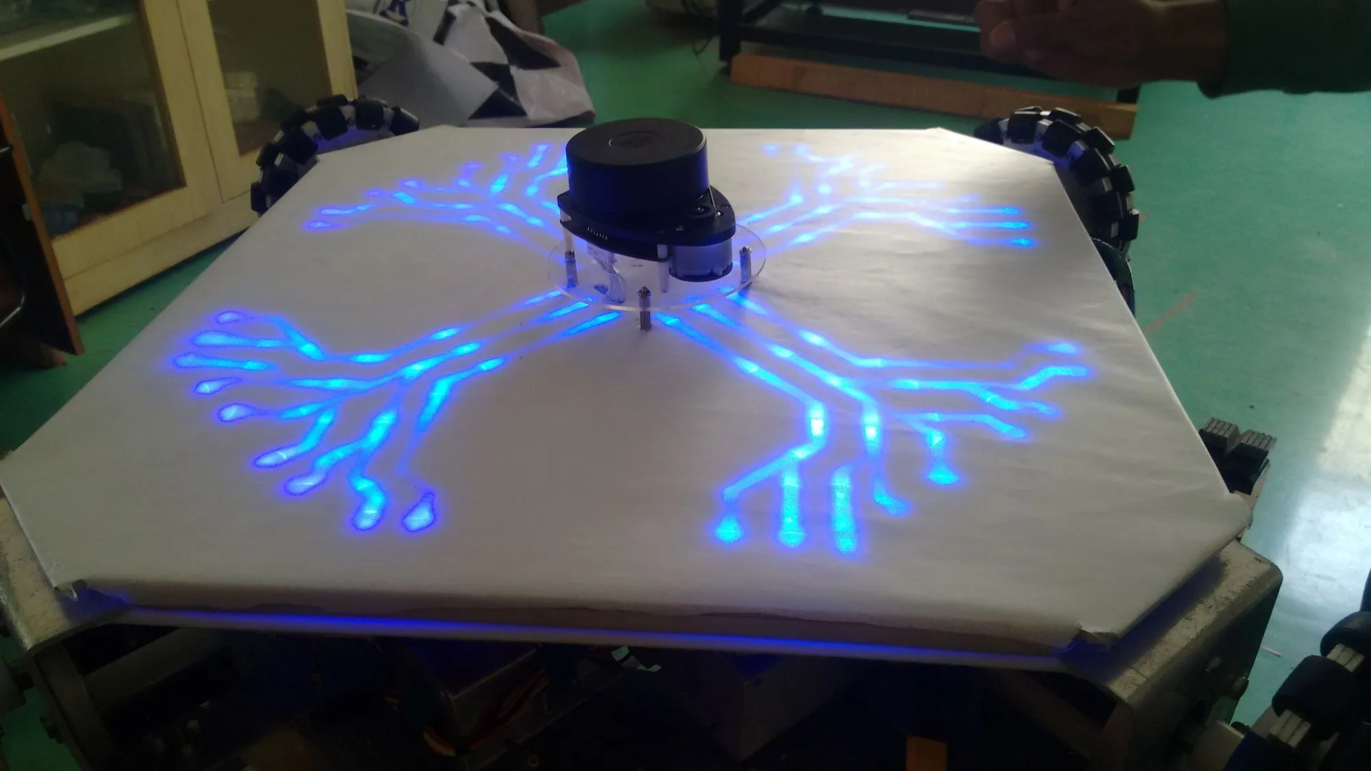
Below are a few images of the robot (and a few early iterations).
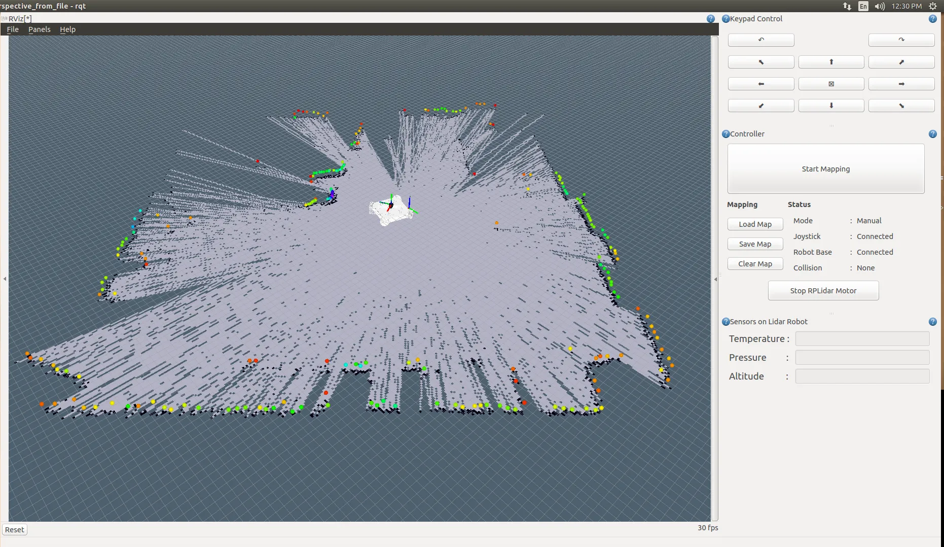
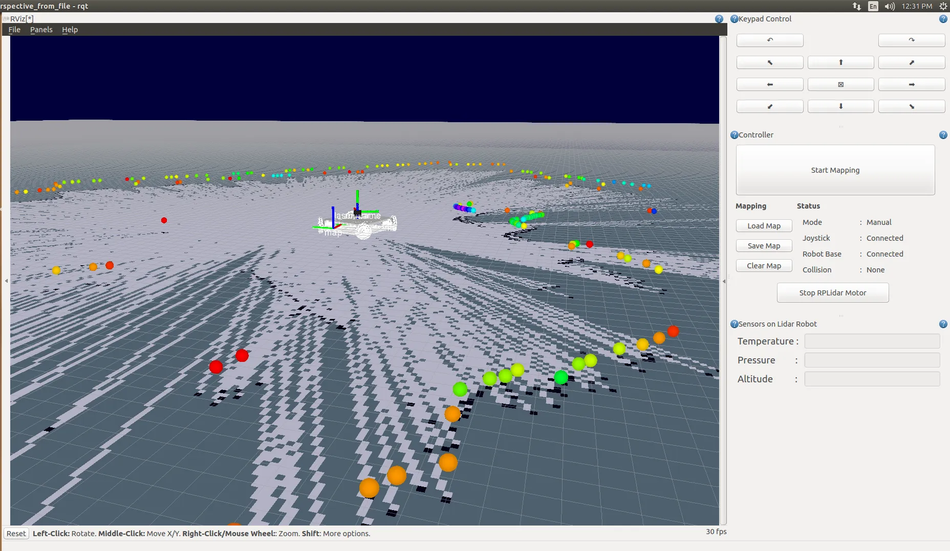
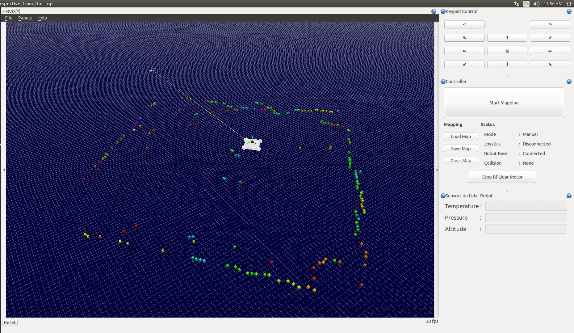
Developed QT based plugin for RQT for controlling the Robot
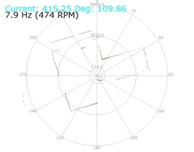
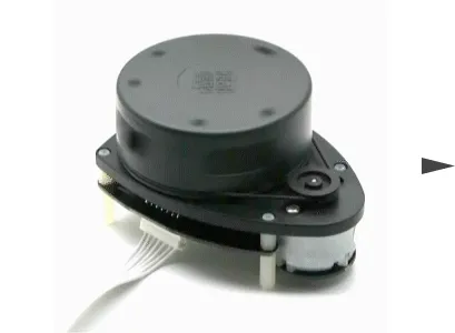
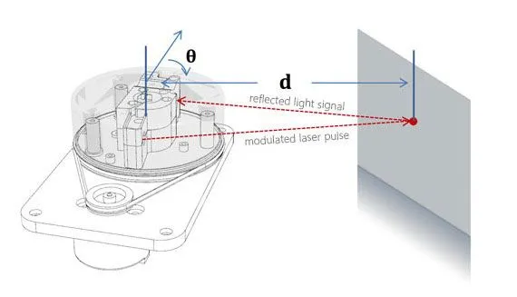
2D Lidar used in the project
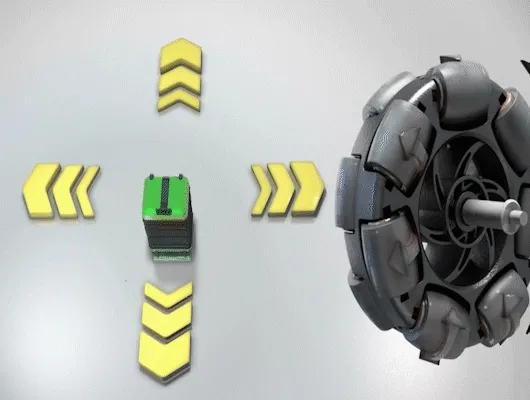
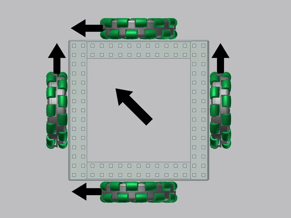
Working of 4 Wheeled Omni
Few of the working videos of first prototype
An academic report on the same can be found at the Lidar-Robot GitHub repository.